


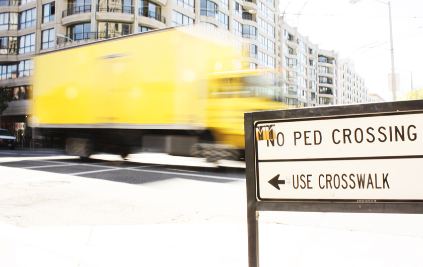
Last week, San Francisco had three pedestrian deaths in as many days. Through some online searching, I came across a SF Department of Health paper on Identifying High Pedestrian Injury Corridors for Targeted Safety Improvements. The SF Department of Health also released these highly informative pedestrian and cyclist accident maps.
Pedestrians:

Cyclists:

In order to generate the maps, the Department of Health catalogued over 5,000 pedestrian and cyclist accidents over the course of 6 years, 2005-2011.
None of you will be surprised that most accidents occur in SOMA, the Tenderloin, the Mission, and then along all of the large timed-light thoroughfares in the city. Look at lovely Pacific Heights, Russian Heights, the Marina, and Noe Valley and watch the red dots scatter and mostly disappear.
Perhaps San Francisco needs these timed-light thoroughfares, to make up for our lack of actual highways crisscrossing the city. (Our city could have looked like this: 1948 San Francisco Planning Department Freeway Plan.) During the Central Freeway’s reconstruction (and partial demise) after the 1986 Loma Prieta Earthquake, the planning discussion was “what to do about all these cars coming off a dead end freeway?” And so was born our network of one-way, timed-light streets through Hayes Valley.
The daily rush hour traffic jams through SOMA, the Tenderloin, Van Ness, and Lombard Street, for cars and busses heading towards the Golden Gate Bridge, Bay Bridge, and peninsula, probably argue in favor of the same timed-light, freeway-on-the-city-streets access we currently get.
But, perhaps it also means that 1948 freeway plan has actually come into fruition. Except our city isn’t divided by elevated highways, but by major thoroughfares instead, affecting neighborhoods, pedestrians, and cyclists in unintended ways.
